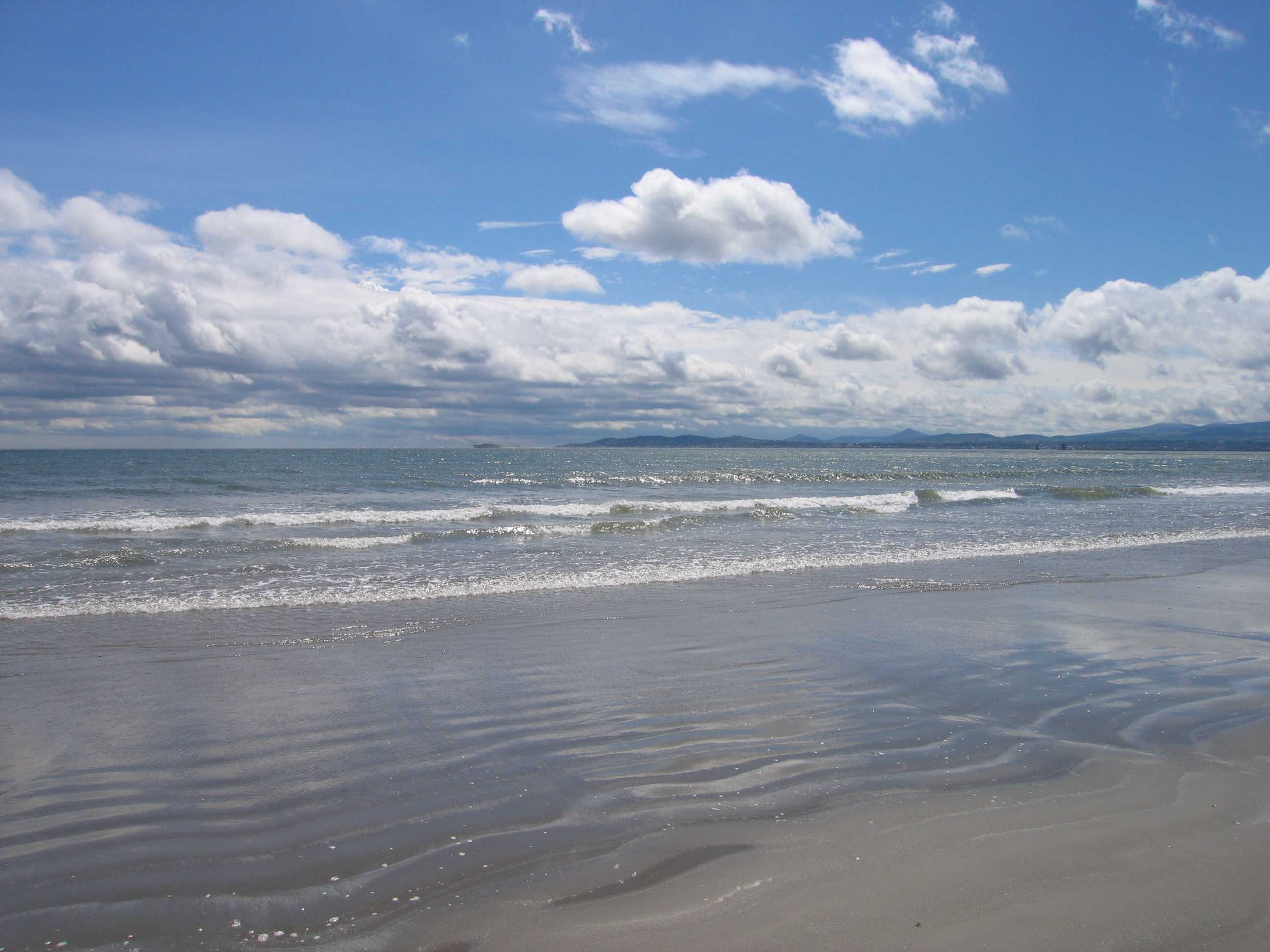
From Howth head right down to Dalkey, Dublin Bay has lots of little towns and green spaces to explore.
This shallow and sandy bay was notorious for shipwrecks in the past. The bay begins at Howth Head just north of the City of Dublin, and is about seven kilometres long, stretching down to reach the suburb of Dalkey in the south. It was charted and mapped by William Bligh in the 19th century and the Bull Wall was built in 1825 to stop sand piling up in the channel leading towards Dublin city. Instead, a sand bank has formed to make North Bull island, which connects to Dollymount Strand, an internationally recognised wildfowl reserve. The bay has been called a “biosphere reserve” by UNESCO because of its diversity and the habitats it provides for animals and plants.
Look out for the Martello towers, which are small defensive forts built by the British during the 19th century, mostly to protect Ireland from French invasion. You’ll find examples of these all round the bay, particularly at Malahide, Sandycove. The tower at Sandycove is now a museum to Irish author James Joyce: a fitting tribute to a man who often used Dublin Bay as the centre point for characters in Ulysses. Head north to the fishing village of Howth and climb the cliff top path, which will give you a sweeping view of the bay, or try Killiney Hill to the south to see what Dublin looks like from the other side.

- Monday:
- Open 24 Hours
- Tuesday:
- Open 24 Hours
- Wednesday:
- Open 24 Hours
- Thursday:
- Open 24 Hours
- Friday:
- Open 24 Hours
- Saturday:
- Open 24 Hours
- Sunday:
- Open 24 Hours


